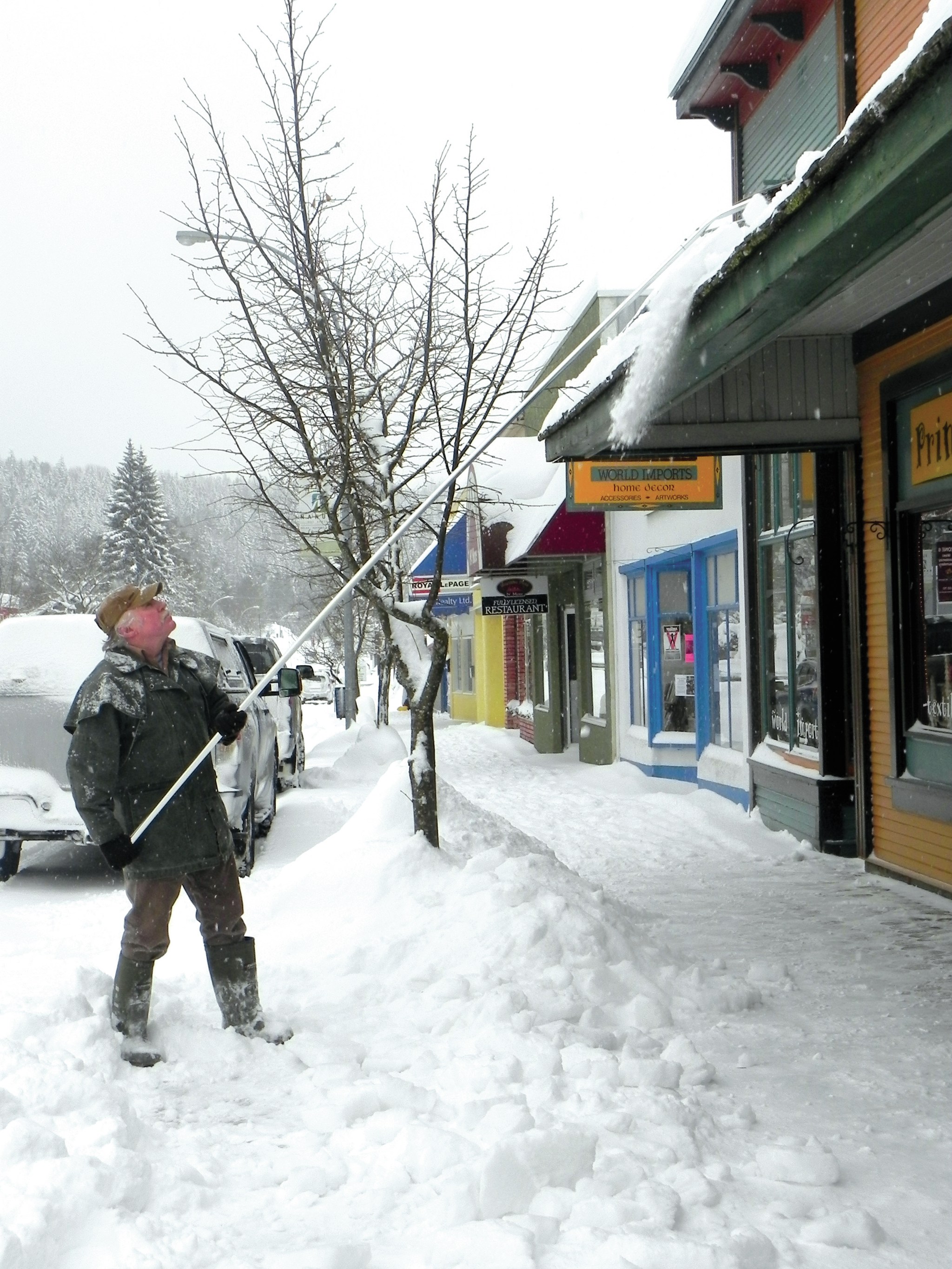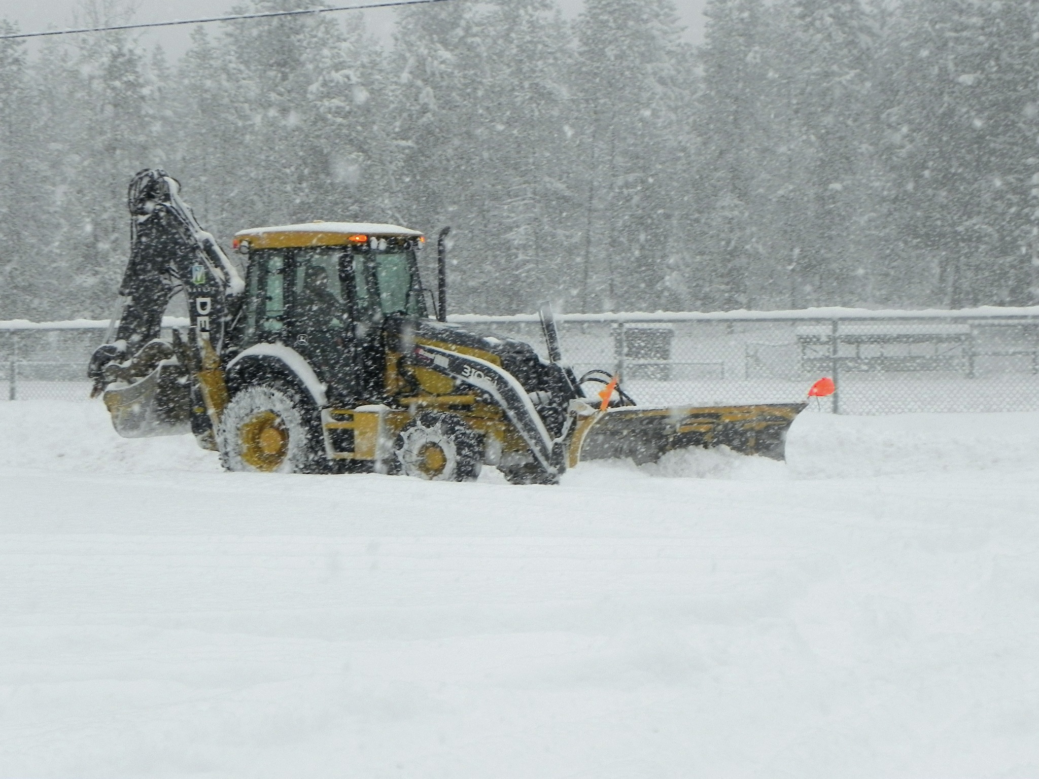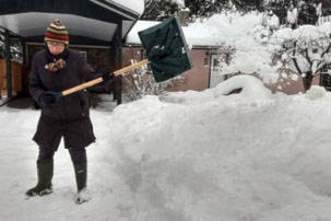
In case your arms, shoulders and back didn’t notice while shovelling — it snowed a lot last month.
Weather forecasters at the Southeast Fire Centre say January was the wettest in the region since 2006, and saw the greatest amount of snowfall since 1982.
“January 2018 was unseasonably mild and very eventful as numerous Pacific systems spread frequent, and at times heavy precipitation across the area,” says a monthly climate report produced by the SEFC. “The amounts of precipitation (both snow and rain) were near double the normal for January.”
Measureable precipitation was recorded 22 days in the month.
More than 44 cm of snow and rain fell in a two-day period on the 23rd and 24th, and three days of the month set records for the amount of precipitation that fell.
One small blessing was it wasn’t too cold, with the coldest day hitting -9C, and milder than normal temperatures for the rest of the month. The mean monthly temperature was 1.6 degrees warmer than normal.
“That’s a little unusual, as this is a La Nina winter, which tend to the cooler side,” says Ron Lakeman, a weather forecaster with the SEFC.
Lakeman says forecasters expect the La Nina influence to continue, with the next two months continuing cool and wet.
“Spring should be later versus early to arrive,”he says. “We have the potential to be on the cooler side of normal, and have an ‘eventful’ February and March.
In other words, it doesn’t matter what the groundhog saw today… we may be in for a good six weeks of wintery weather.