By Claire Paradis/Special to the Arrow Lakes News
“Look deep into nature,” said Albert Einstein, “and you will understand everything better.”
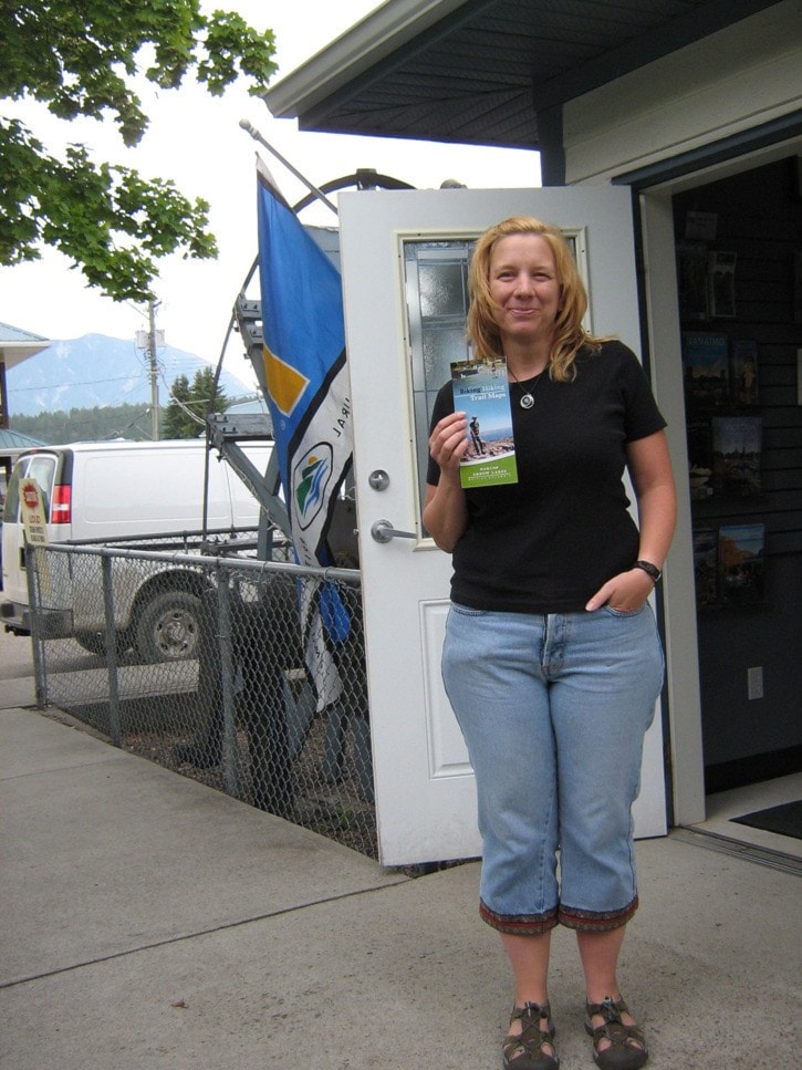
Well, the path to deeper understanding is now clearly mapped out for folks in the Nakusp area.
A new glossy Biking Hiking Trail Maps brochure can be found showing the way to some of Nakusp’s most beautiful surrounding trails.
The colourful brochure is a spruced up compilation of several black and white pamphlets previously created by the Chamber of Commerce.
Nine local hikes are illustrated, each with the distance and estimated trip time given, as well as a description of the hike itself. The directions to each trail are also included, ensuring that even a traveller unfamiliar with the area can get out there and take in the local scenery.
The brochure prominently features a page on wildlife and responsible trail use that gives tips on how to enjoy time out in the wilderness safely and responsibly.
After attending a marketing conference, Chamber of Commerce President Kim Reich knew Nakusp’s lush natural beauty could become a popular eco-tourism destination. She worked with Michelle Williams and Steven Marks to produce the very smart, full-colour brochure.
Funding for the trail brochures was made available from Kootenay Rockies Tourism and the provincial government.
The Chamber approached Steven Marks in the spring about designing and printing the new brochure. Most of the trails were already mapped, he said, and compiling them took about three months.
“I used to be quite involved with forestry,” said Marks, who used mapping software to make the maps to scale and to determine accurate GPS points.
“More and more people are using hand-held GPS,” Marks said, so he wanted to be sure hikers could rely on the points on the maps and be safe exploring the area.
But you don’t need a GPS to take advantage of the local trails.
Marks said the point of the brochure was “just to get people out there. I’m hoping everyone will use them. [The brochure] is for everyone.”
The next step is to upload the trails to Google Earth, Marks said. That is still under discussion, but it is something he would like to see happen in the near future.
Kim Reich said the Chamber is planning to collaborate with the Trails Society and the holders of the trails’ land tenures to develop maps for winter trails as well. Steven Marks hopes to be part of that project as well.
Depending on the focus of each tenure holder, the nature of a trail’s usage varies. Each map lists the modes of use allowed on each trail. Some are accessible to motorized vehicles such as all-terrain vehicles or snowmobiles, while others are restricted to horseback, bicycle or foot travel only.
The current brochures were ready mid-June and are now available to individuals and local businesses at the Tourist Information Centre in downtown Nakusp.